SL 6 Cuevas Blancas – Montaña La Guirra – Barranco del Agua – Valsequillo
Starting point:
Presa de Cuevas Blancas
Altitude: 1665 m
Destination: Valsequillo
Altitude: 580 m
Direction of the route: NW-NE-E
Total Distance: 12200 m
Time to cover the Route: 5h 30′
Max. altitude difference: 1119 m
Difficulty rating: Medium-high
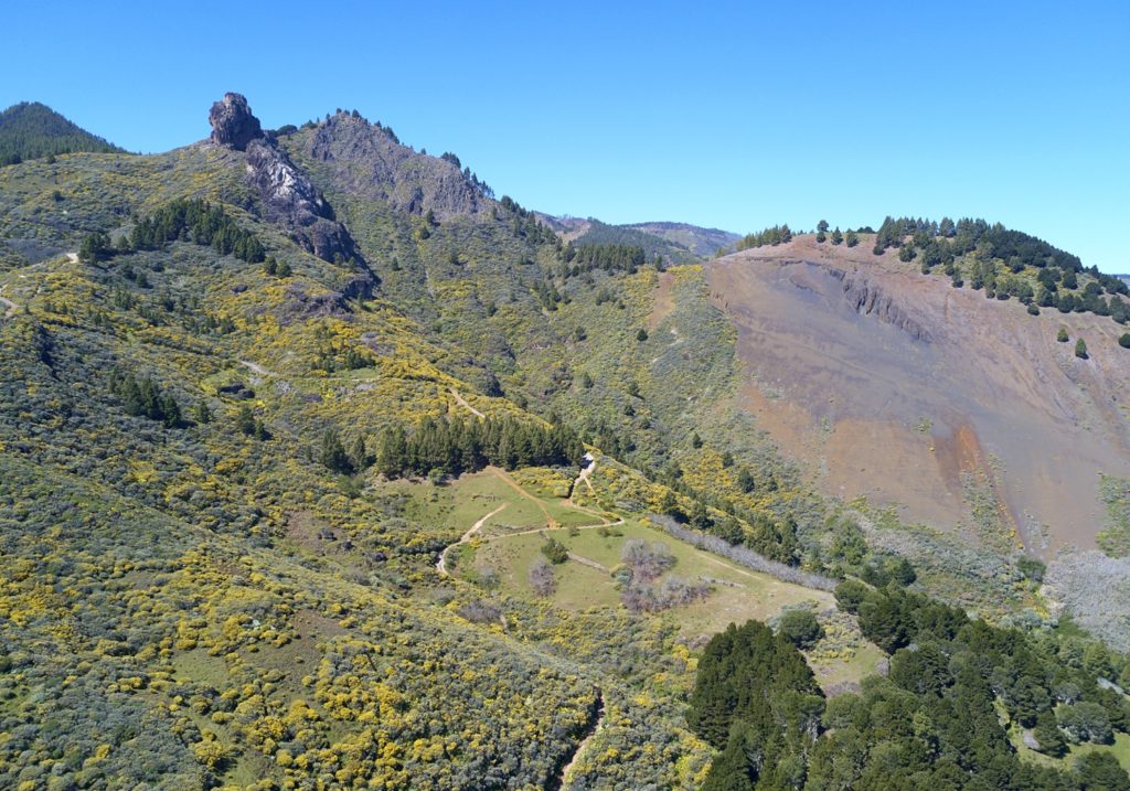
The SL 6 shares its first 2,85 km with the SL 4, starting both from the NE side of the GC 130 road, in front of the Cuevas Blancas dam. The dam, which is located on the other side of the road, is a 16-meter-high work from 1940, now almost always empty due to filtrations.
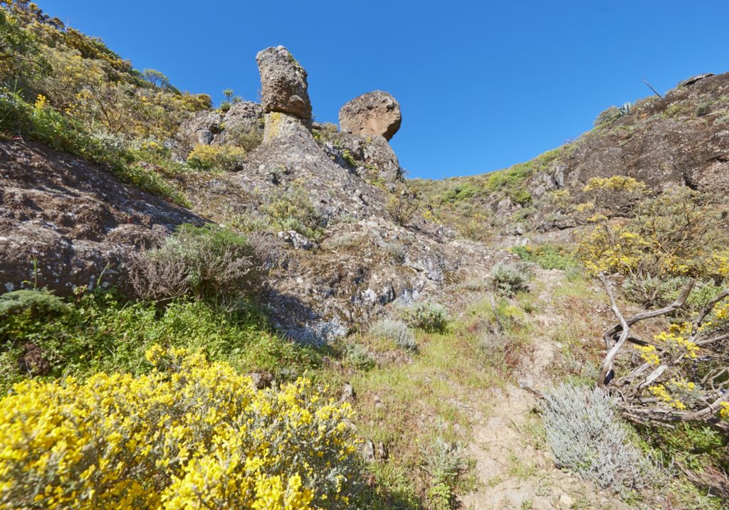
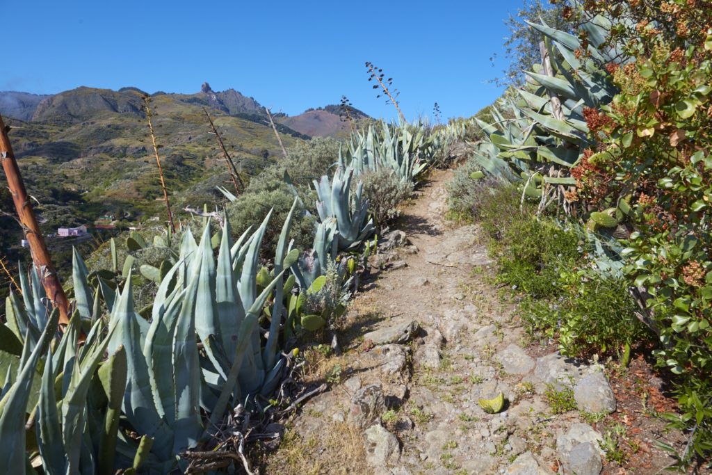
The route continues between the pine forest of Pinus canariensis on its left, and the broom-flatpod, (Retama raetam and Adenocarpus foliosus), which in spring dyes the peaks of yellow; These formations accompany this path along its first kilometers that run above the 1000 meters of altitude.
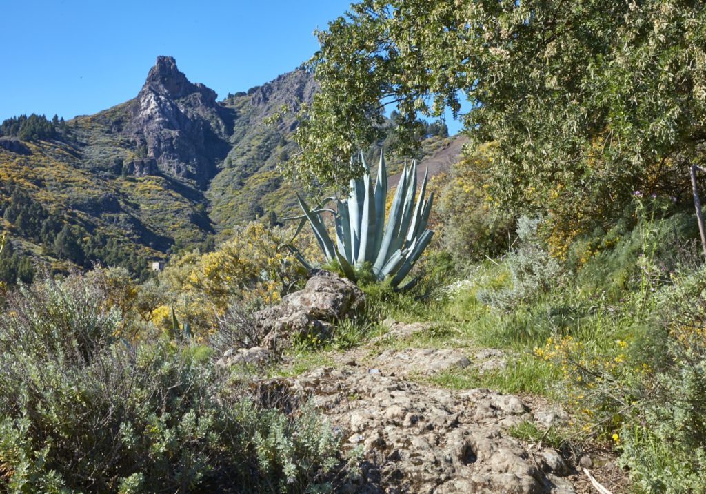
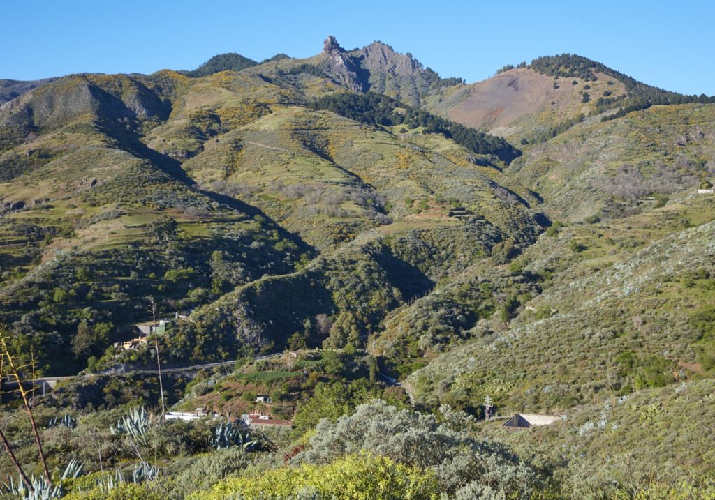
At about 920 meters we find on our left the path that goes up to the cross of the Saucillo, 801 meters high, point P1. We continue for about one km and after crossing the pine forest that surrounds Montaña Gorda, we reach another possible detour, to come closer to the base of the Roque Saucillo.
We continue downhill for 1 km on a dirt track, with spectacular views that cover the entire northeast of the island on our right, until we separate from SL4, which descends in E direction, while we will continue towards the N by the same track, point P2.
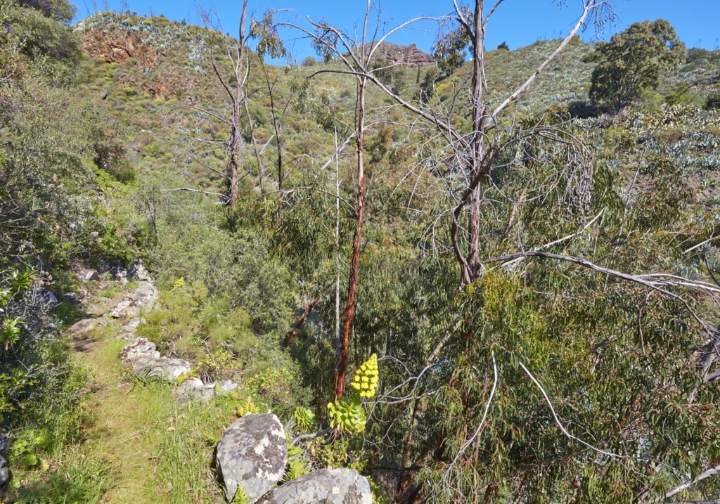
After walking 580 m more, we find a path to our left, point P3, which goes down to the barranquillo del Agua. We leave the track, cross the ravine and pass under the Codeso mountain, with its quarry of volcanic sand extraction.
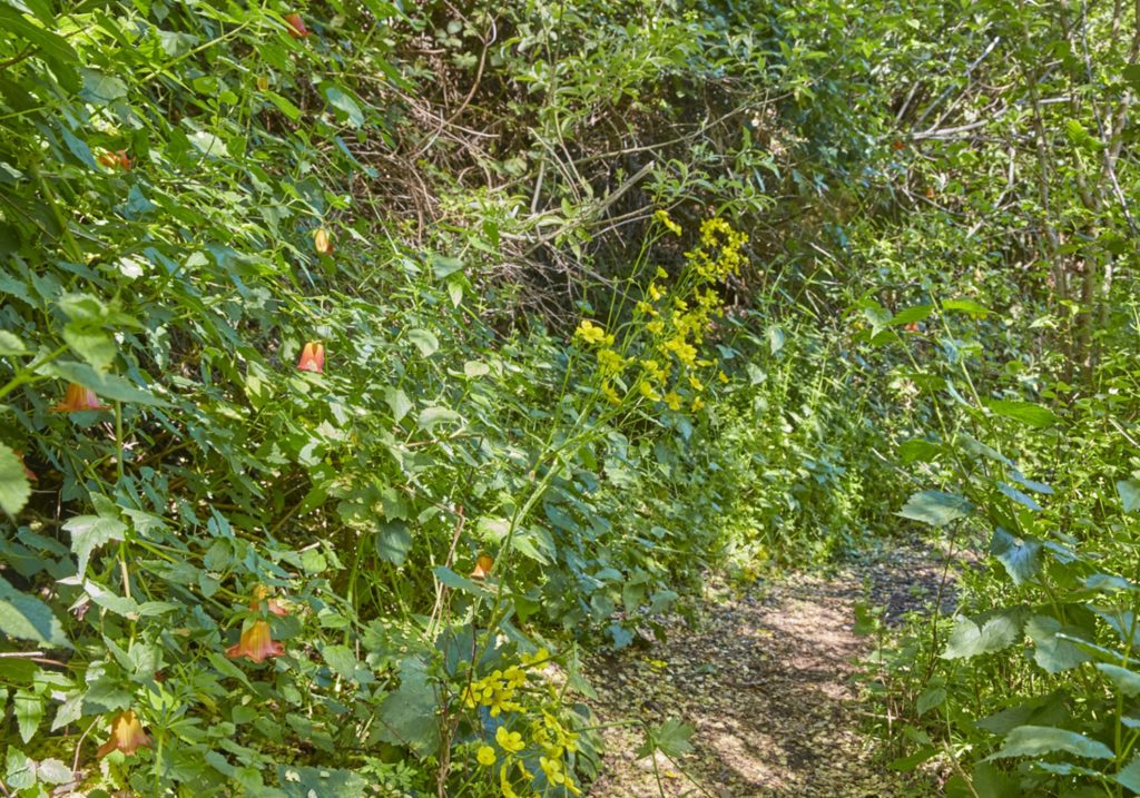
Here thanks to the humidity (the path can be slippery) the whole variety of island flora unfolds. The flatpods and broom acquire arboreal appearance, surrounded by giant buttercups (Ranunculus cortusifolius), giant fennels (Ferula linkii), summit marguerite daisies (Argyrantemum adauctum), ferns (Pteridium aquilinum), the cerrajas (Sonchus acaulis), broom (Chamaecytisus proliferus) and even canary bell flowers (Canarina canariensis), moving to more open and sunny areas will be the turn of thistles (Onopordum carduelinus) and sage (Sideritis dasygnaphala).
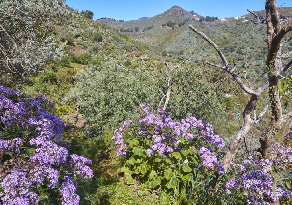
Continuing along the slope of La Mesa, we will find a pond on our left, point P4. The hydraulic infrastructures, ditches, pipes and water corner guards, both old and currently in use, accompany us all the way.
We tour by Lomo Chiguiñique, 1200 meters of quota, in direction E-NE and a wide panoramic view of the municipality of San Mateo appears on our left.
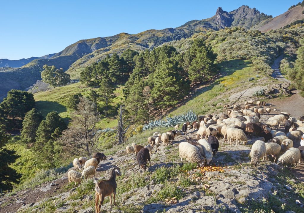
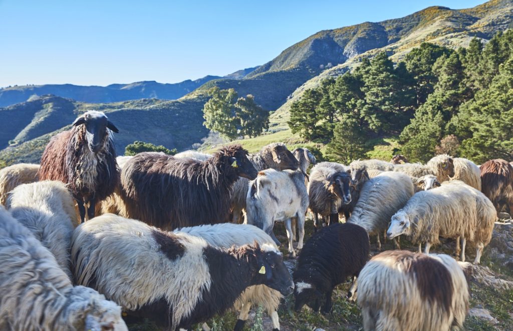
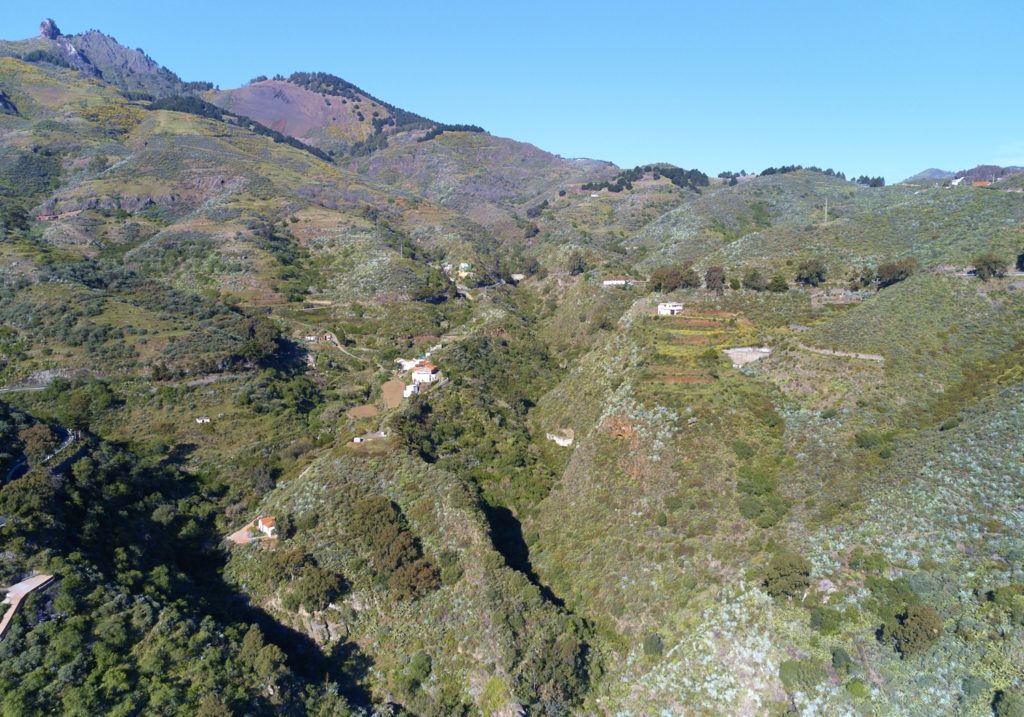
After traveling a kilometer we arrive to a track, point P5; we go through an inhabited nucleus, Lomo la Vega, with corrals, of sheep and goats, and cheese factory.
We are in a cattle area and we can find flocks of sheep grazing on the slopes. It is also an area of almond trees that in January and February give us the spectacle of its flowering.
The track is now of cement, and goes down until reaching mountain La Guirra and a small neighborhood on the edge of the highway GC 41. We cross the road and we can stop at the viewpoint of Huerta de Sardina, where the view covers most of the municipality of Valsequillo, from the Roques and Tenteniguada to the south to the Montañón to the north, with the crops of Huerta de Sardina and the El Agua ravine below us to the southeast.
Here begins a path, point P6, that descends zigzagging in the direction of the channel of the ravine, which we will reach after a descent of about 600 m.
We are now in a more humid area, where we can observe a waterfall if there have been rains previously; some wild olive trees (Olea cerasiformis) give us shade and there are many major bejeques (Aeonium undulatum), tederas (Psoralea bituminosa) and follaos (Viburnum rigidum).
We cross the ravine and the road, after some ascent and descent we reach a cave house, point P7, having travelled about 1700 meters from the previous point.
We head east, in the area of Las Catelas, we cross the road and continue along the Lomo la Majada in the E direction, until we reach the neighborhood of Las Casillas. Here the path turns briefly in direction W, crosses again the El Agua ravine, that in this point it is denominated ravine of Las Casillas, and direct againt to the E.
The end of this 1.5 km stretch is marked by the Helechal’s large water artificial pond, point P8.
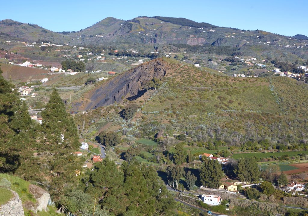
We are now in a flat area of vegetable and fruit crops. To the E, the volcanic formations of the Helechal mountain and the Caldereta stand out.
We move by road, for a short stretch of path and again by road, for about 500 m, until we reach the confluence with SL 7, point P8, which connects Valsequillo with San Roque, up the Montañón which will be our journey for the last 1.2 kilometers.
Climbing the Helechal mountain is a possible final detour to admire a circular view that encompasses the entire municipality, from the caldera of Tenteniguada to the W to Telde and the coast to the E.
Bordering the mountain we go down to the town of Valsequillo, to our right we have the ravine and San Miguel bridge and the historic Colmenar barracks, to reach Valsequillo in the viewpoint of Calle el Sol, point P9 end.
Download the route