SL 5 Valsequillo – Era de Mota – Barranco de La Umbría – Rincón de Tenteniguada
Starting point: Valsequillo
Altitude: 568 m
Destination:
Rincón de Tenteniguada
Altitude: 970 m
Direction of the route: W-SW-NW
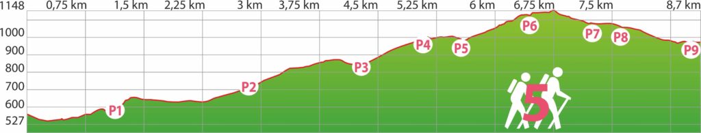
Total Distance: 8700 m
Time to cover the route: 3h 45′
Max. altitude difference: 621 m
Difficulty rating: Medium
We start from the historical center of Valsequillo by the descent towards the Colmenar, coinciding with the SL 1. We pass through the former Colmenar barracks, from 1530, now declared of Cultural Interest (B.I.C.), and down to the channel of San Miguel ravine.
We pass under the bridge of San Miguel, a construction that in 1935 joined the two slopes of the ravine; until then, when the water ran through the ravine it was impossible to cross it, and therefore there was a mill on both slopes, we can see on our right the mill of Colmenar, from the 18th century.
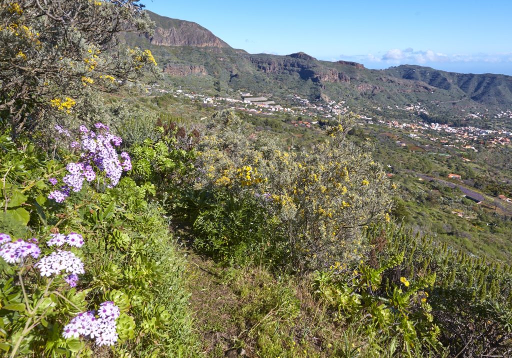
We continue along the ravine for about 600 meters. There is plenty of native vegetation, such as Canary Island Salvia (Salvia canariensis), verode (Kleinia nerifolia) or white tajinaste (Echium decaisnei), and also imported species, such as eucalyptus, which is now being replaced with Canarian species.
We then leave the shared route with the SL1 and turn left into the Santiago ravine. It is an area of hives, which give the name to the neighborhood of El Colmenar, so it requires some precaution to avoid bee stings.
After 1,13 km we arrive at point P1, de los Médicos mill, a water mill of 1873, and a few meters later the house that owns the same name, today they are both in ruins.
We walk up the slope of the ravine following the path now in W direction,arrive to Los Frailes, through an area of crops until we reach the asphalt road and then we follow it in the SW direction; after walking for about 750 m we leave the asphalt following a path that passes under the main road. We enter the asphalt track of La Agujerada.
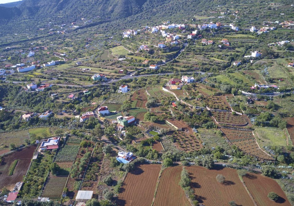
At km 2.85 of the route we reach the junction, point P2, of a 260m highway that connects us in E direction with the Trekker House “Casa del Senderista” and the Era de Mota neighborhood.
We continue ascending surrounded by terraces and crops, it is an area of almond trees. We find livestock facilities on our right.
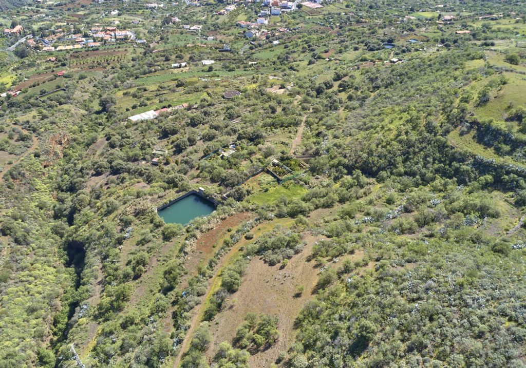
After 550 m of a more accentuated ascent of the deviation to the Trekker House , when the asphalt is finished, we reach the end of the track, point P3, and after finding a triangular pond on the left, we take the path to the right.
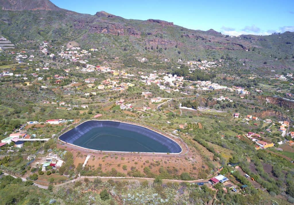
We leave the path and continue down an asphalt road. We continue leaving to our right the great raft of the community of irrigators of Tenteniguada.
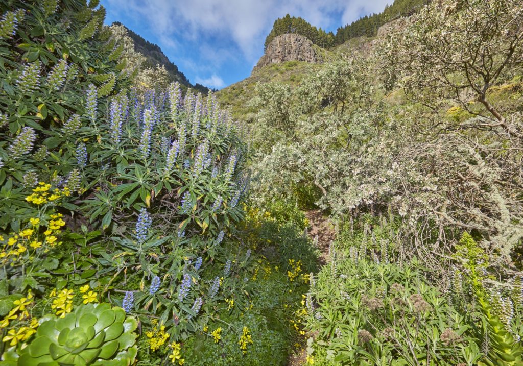
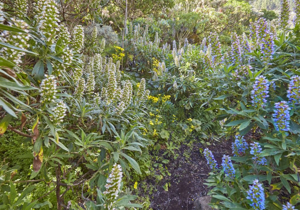
We arrive like this, in a new section of asphalt and after walking about 505 m from the previous point, to the P4 point, where the SL 5 shares road with the SL 9, through the area of Los Alfaques. We climb a slope with many curves, surrounded by the yellow of the cañahejas (Ferula linkii) and cerrajas (Sonchus acaulis), among other autochthonous plants.
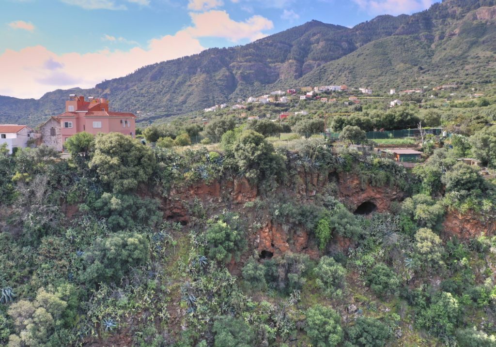
After 830 m we stop sharing the SL9, point P4, going down in the direction of the Capellanía ravine. We go through a zone of caves and stairs carved into the rock, some of which were used as an alpendre, and others that are still used occasionally.
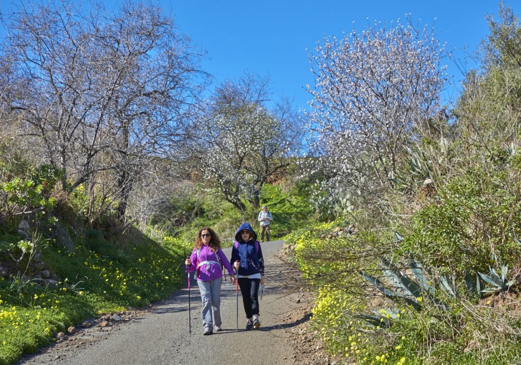
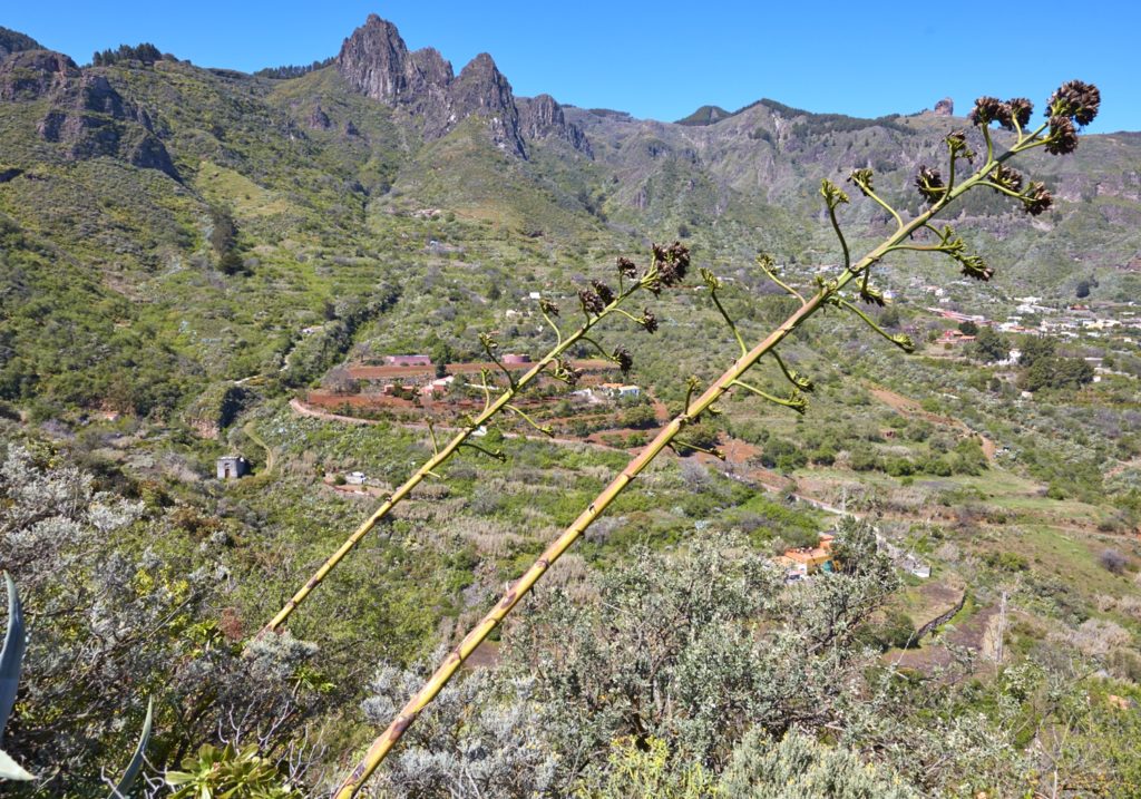
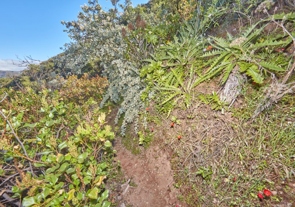
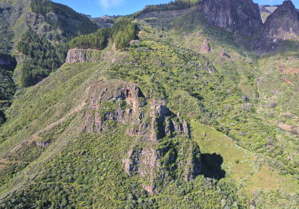
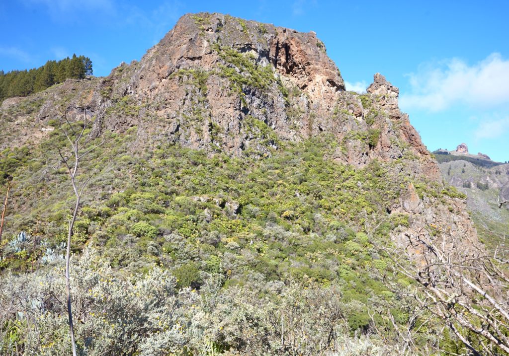
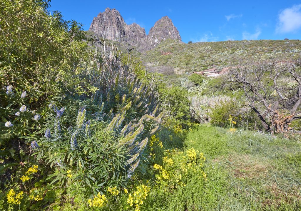
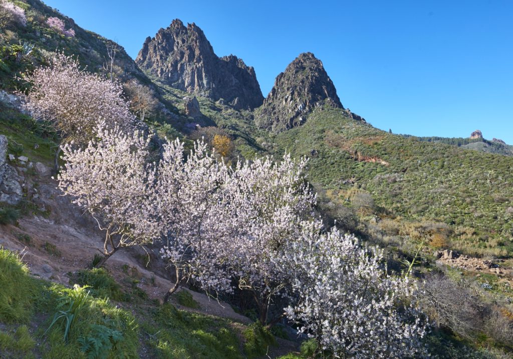
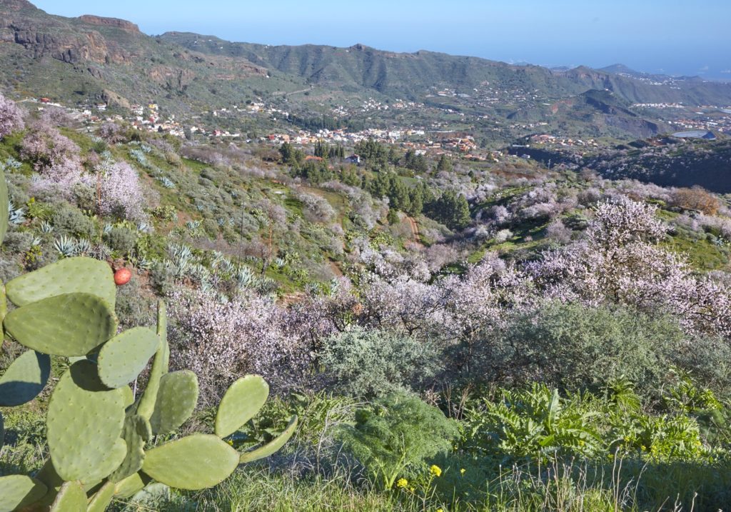
We arrive, after traveling 500 m down the hillside in W direction, to the bed of the ravine, point P5. We are surrounded on both sides by abrupt geological formations, known as Los Picachos (or Los Órganos). We are in the area called Las Peñas, in spring we will see around us the spectacular flowering of blue tajinastes (Echium callithyrsum), and in winter numerous almond trees in bloom. We continue along the ravine on the right, that of Umbria.
We pass through an old water extraction engine, where you can still get water from a tap. Here we leave the river bed and head for the path, passing to the opposite slope of the Umbría ravine.
At point P6 we start to encircle going up the Roque Redondo in the N-NE direction.
We see below us an area of terraced crops, and above, livestock facilities and the moles of Roques Grande and Pino.
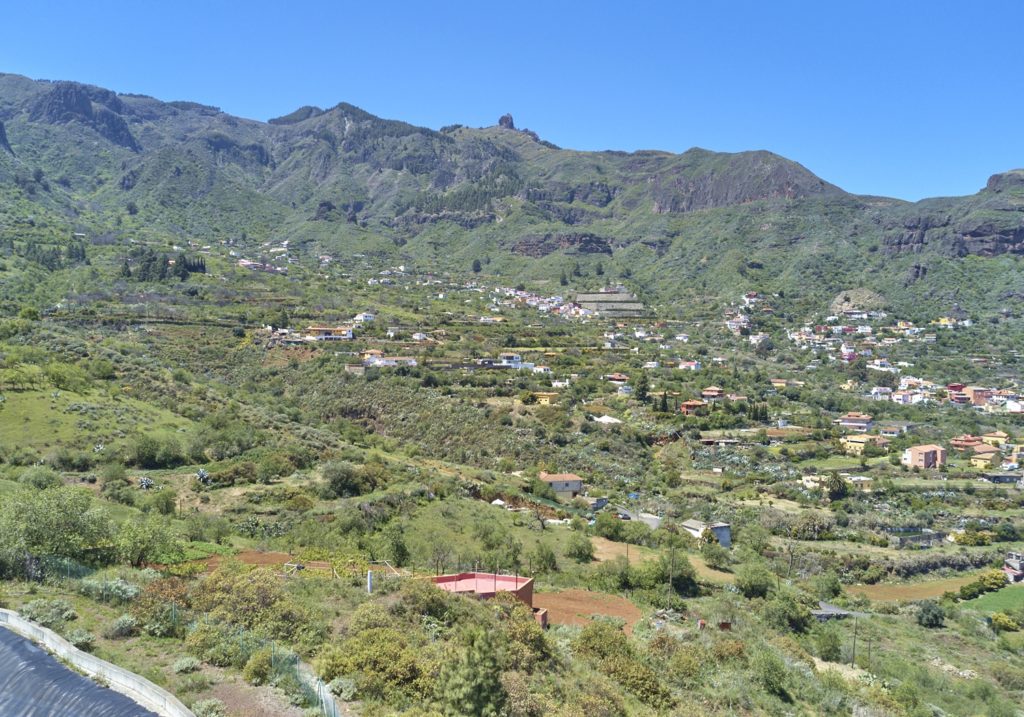
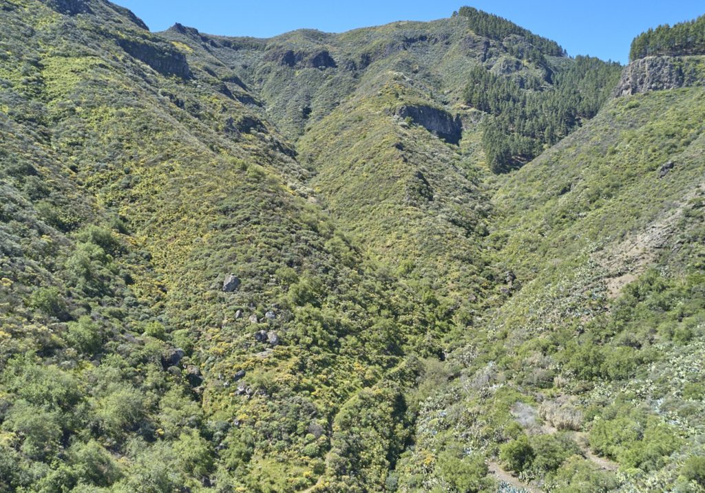
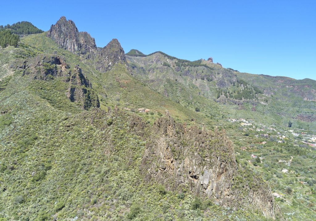
After traveling 870 m we arrive at the beginning of a cement track, point P7, where cars can arrive. After walking 300 m along the track, with spectacular views of the Tenteniguada caldera, we reach point P8, that crosses with SL 1.
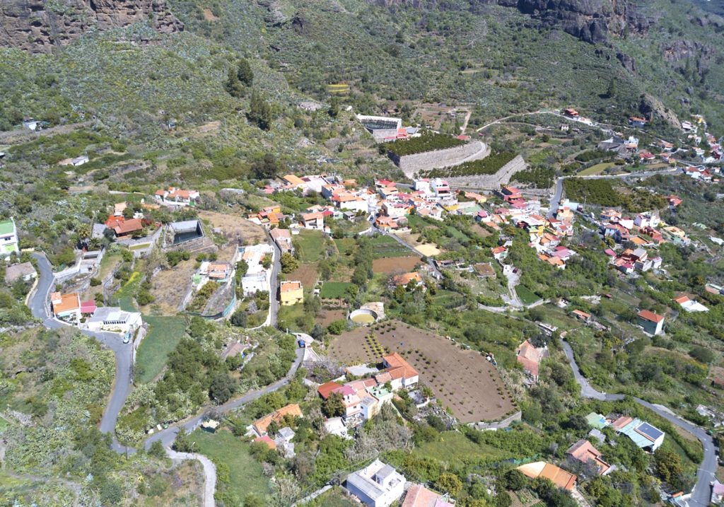
On 1 km away in direction N, crossing with the connections to the SL 3, SL 4 and SL 8, we find the neighborhood of Rincón de Tenteniguada and end of the Sl5.
Download the route